 2 min
2 minZones and limits
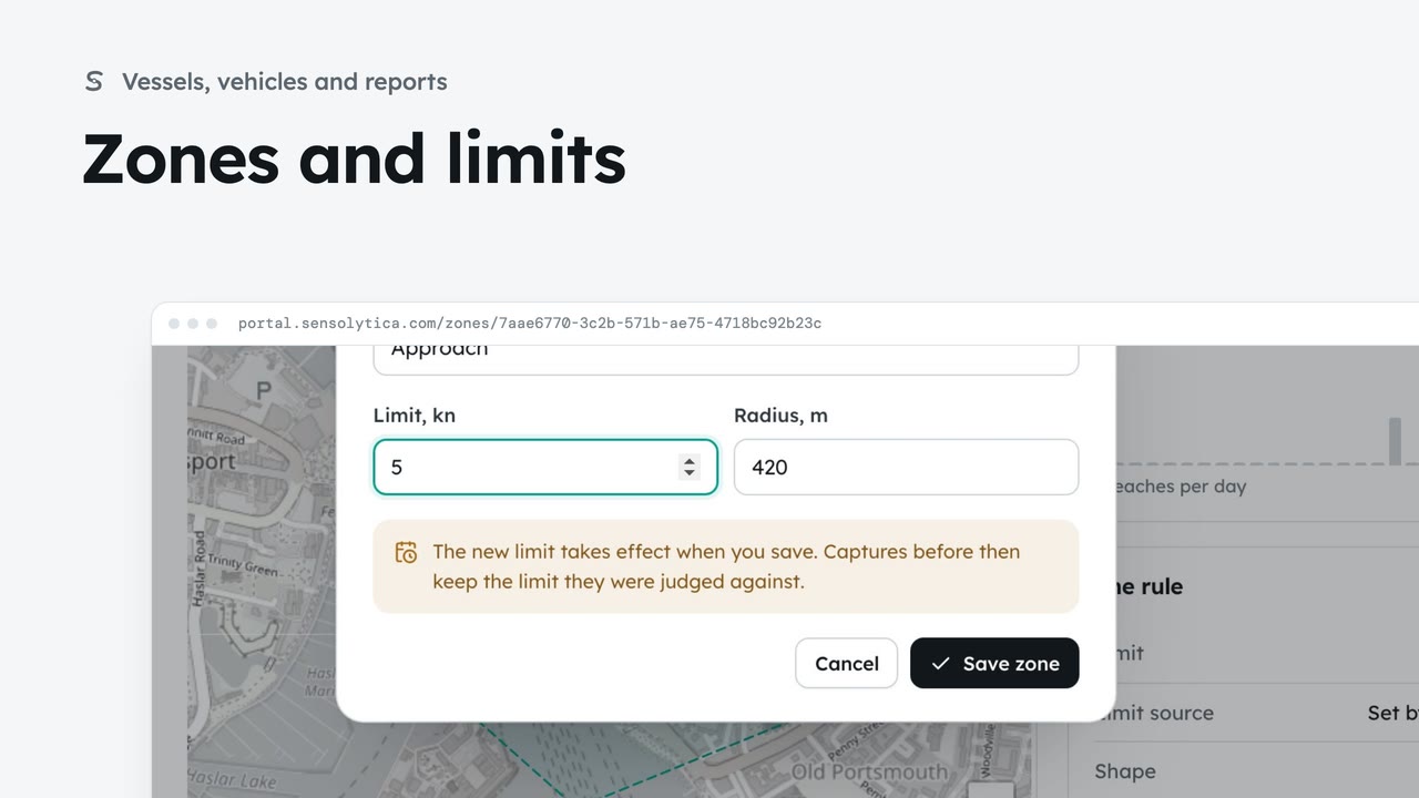
See where each limit applies and how each zone keeps to it, and change a limit with when it takes effect.
2 min6 stepsAdmin, Operator
Add a zone at one of your sites with its radius and its limit, so the nodes deployed there judge captures against it.
New zone
Zones and limits, then New zone. A site can hold more than one zone.
Existing site or new
Pick one of your sites, or add a new one with its place on the map.
The zone and its limit
A name people will recognise, a radius round the node, and the limit with its unit.
Create zone
The portal repeats what you chose. Nodes deployed to it judge captures against this limit from now on.
Open Zones and limits from the sidebar and choose New zone. A zone is where a limit applies, and a site can hold more than one.
Keep Existing site and choose Inner basin. For a place you have not used before, New site asks for its name, whether it is water or road, and its place on the map.
Name the zone so people recognise it: Slipway. Give a radius round the node, here 120 metres, and the limit: 3 knots. You can draw an exact shape once it exists.
Choose Create zone. The portal repeats what you chose before it saves. Nodes deployed to the zone judge captures against its limit from now on, and the new zone opens.
Sign in with your work email. Your own organisation's records, nodes and units take the place of the Westmouth ones.
2 minSee where each limit applies and how each zone keeps to it, and change a limit with when it takes effect.
2 min6 stepsAdmin, Operator
 2 min
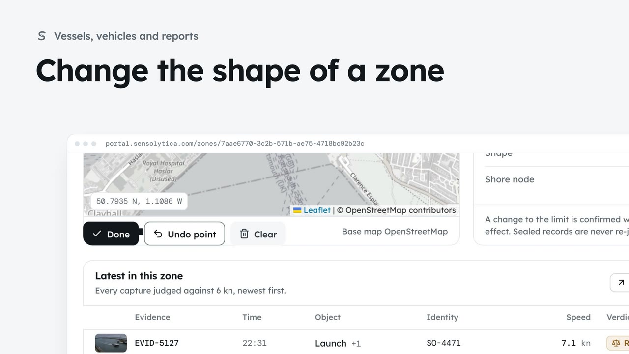
2 minEdit the points of a drawn zone, or go back to a radius ring, so every map shows where the limit really applies.
2 min3 stepsAdmin
 2 min
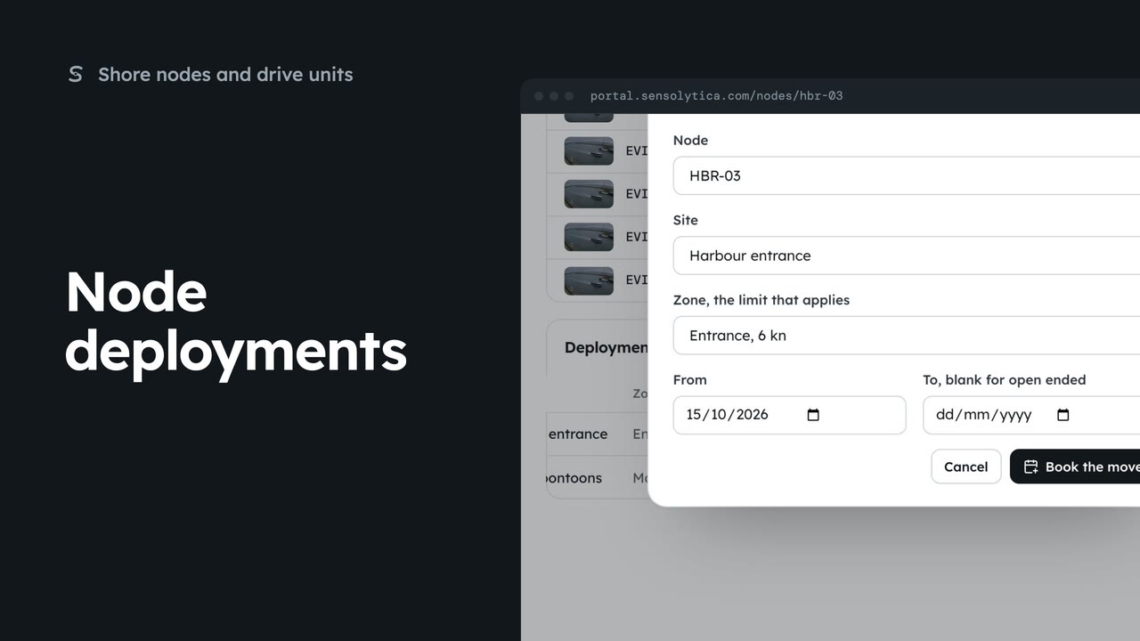
2 minEnd a node’s deployment at one site and book it at another, so its captures are judged against the right limit.
2 min4 stepsAdmin
Checked against the portal on 15 October 2026. Westmouth names, vessels, units and figures are illustrative. General guidance on using the portal, not legal, regulatory or financial advice.